Dieppe South Secondary Plan: What Dieppe Plans to Build South of LeBlanc Road
Dieppe has published the rulebook for its next big neighbourhood. By-law Z-27, the Dieppe South Secondary Plan, sets out what can be built on the largely rural land between LeBlanc Road and the city's southern boundary, the same land the Dieppe Boulevard extension is being built to reach. Council holds a public hearing on it on Monday, October 26.
The plan answers the question every buyer and landowner in south Dieppe has been asking since the boulevard was funded: once the road is through, what actually goes there? The short version is a new urban centre along the boulevard, stepping down to townhouses and single-family streets at the edges, with wetlands and mature forest set aside under conservation designations.
Why Dieppe needs a plan for this land
Dieppe has been growing faster than its last municipal plan anticipated. The secondary plan puts the city's population growth at 21.8% between 2021 and 2024, and cites a housing study projecting a need for about 4,300 more housing units over the next ten years. The City's own profile puts today's population at roughly 34,500, up from 28,114 in the 2021 Census.
The longer view is bigger still. The City's Urban Growth Strategy modelled an additional 38,950 residents by 2056 under its medium scenario and 51,340 under its high scenario, both measured from 2021. Either way, Dieppe would more than double. The plan says growth on that scale is unlikely to be met through infill alone, and that a significant share of the new greenfield development is expected to land in Dieppe South.
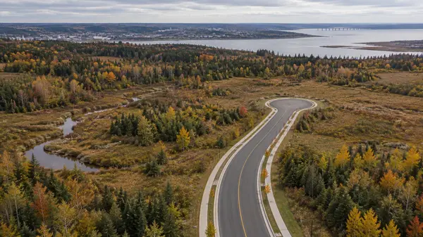
The Dieppe Boulevard extension is what makes that possible. The $42 million project, funded by the federal, provincial and municipal governments, runs about two kilometres from east of Belle-Forêt to Amirault Street at Dover Road and services roughly 500 acres of land. A new water tower is part of the project, and the plan notes that limited water pressure has held back development in the area until now.
Watching Dieppe?
A secondary plan is the clearest signal of where a city intends to grow. If you are weighing a move to Dieppe, the useful next step is seeing what is on the market there today.
Save the search on that page to get new listings by email. For questions about a specific street or lot, Candace McKay answers directly.
What the plan proposes, zone by zone
The plan divides the area into eleven land use designations. The ones that matter most for buyers fall into three groups.
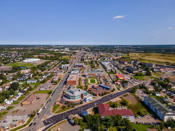
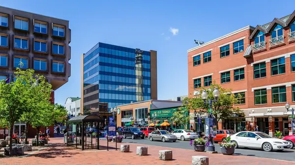
The boulevard and the urban nodes. The new stretch of Dieppe Boulevard is designated as a mixed-use corridor, with mid-rise and high-rise buildings near the boulevard, and sections of it marked as intensification nodes where shops and services are required on the ground floor of side streets. West of the boulevard, the plan reserves a "Community Pole" as a hub for government offices, service centres, libraries, cafés and retail, and commits the City to work with the province on locating new schools. Nearby Urban Node areas default to mid-rise and high-rise housing on small building footprints. The idea is a second town centre for south Dieppe, so residents are not driving north to downtown or the industrial park for everyday needs.
The step-down. Moving away from the boulevard, the plan steps density down deliberately. Urban Transition areas are mid-rise residential. Semi-Urban areas are townhouses and small apartment buildings, described in the plan as missing middle housing. Suburban areas are ground-oriented housing, excluding townhouses, and are largely held back from development until demand clearly justifies it.
The corridors that stay as they are. Amirault Street, Dover Road and LeBlanc Road each get their own designation to protect their existing character. Amirault is expected to see modest change, with buildings of up to four units, small multi-unit dwellings and small commercial nodes at major intersections. Before that is zoned, Council is to consider an urban design study for the street, and until then the Suburban designation applies. Dover Road keeps its large lots and tree buffers. LeBlanc Road stays rural: the plan states there is no plan to extend municipal water and sewer there for the life of the plan, so lots of an acre or more on private services remain the norm.
Running through all of it are Conservation and Sustainable Management designations, drawn from a 2025 ecological study by Innov-CCNB. They protect the Petitcodiac River shoreline and marshes, wetlands, mature forest and the Trans Canada Trail, and connect them into green corridors. Dover Park is designated as a community hub, with the City open to expanding it.
The part most people will miss: nothing gets rezoned early
Most of the land in Dieppe South is currently designated Land Reserve in the Municipal Development Plan. The secondary plan does not change that on day one. Under Policy 6-1, the City will only consider rezoning Land Reserve lands once arterial or collector road access, municipal water and sanitary sewer have actually been extended to them and they are demonstrably ready for development.
That is a disciplined approach, and it matters for anyone valuing land here. The plan sets the destination, but servicing sets the pace. A parcel near the boulevard with a mixed-use designation on the map is not developable until the pipe reaches it, and Suburban lands are, by design, not expected to be needed within the Urban Growth Strategy's planning horizon unless growth outpaces projections.
What it means for buyers and sellers
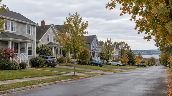
If you own in an established Dieppe neighbourhood such as Fox Creek, the plan is broadly supportive of value. A new service centre, schools and parkland to the south improve the amenity base for the whole city, and the density is concentrated along the boulevard rather than spread onto existing streets. Protected wetland and forest next to a neighbourhood is also one of the more durable value supports in residential real estate, because it is far harder to build out later.
If you are buying new construction, the plan tells you what kind of product to expect in south Dieppe over the next decade: a lot of multi-unit housing near the boulevard and a narrower band of ground-oriented homes further out. Single-family lots in the new areas are likely to be a smaller share of supply than many buyers assume, which tends to support the value of existing detached homes across Dieppe.
If you own land or acreage in the plan area, the designation on the conceptual map and the timing of servicing matter far more than the plan's adoption date. Land in a designated growth area tends to reprice as planning risk comes off and servicing arrives, not when the first building goes up.
There is already development activity along the boulevard corridor. On September 28, Council was scheduled to hear a public presentation on a separate plan amendment for land at Melanson Road and Dieppe Boulevard, to allow a project of two 77-unit residential buildings. Nearby, Quest Properties' Origine Village is already underway between Keith Road and the boulevard.
How to have your say, and what to watch
The plan is a proposed by-law and has not been adopted. Council heard a public presentation on September 14. The public hearing, which covers By-law Z-27 and a companion amendment to the Municipal Development Plan, By-law Z-9 (2017-15), is Monday, October 26 at 7 p.m. in Council Chambers at City Hall, 333 Acadie Avenue, and will be livestreamed on the City's YouTube channel. Written objections must reach the Clerk's Office by Friday, October 16 at 4:30 p.m., by mail or at clerksoffice@dieppe.ca. The full by-law is posted on the City's public notices page.
After the hearing, watch for three things: whether the conceptual land use map changes in the adopted version, the zoning by-law amendments that turn these designations into actual zones, and the pace of servicing along the boulevard. The third is the one that decides when Dieppe South starts to look like a neighbourhood.
If you own in Dieppe and want to know how this plan could affect your property's value, a free home evaluation is a sensible place to start.
Sources: City of Dieppe By-law Z-27 (2026), Dieppe South Secondary Plan, as posted for public hearing; City of Dieppe public notices of September 2 and September 29, 2026, and the notice for By-law Z-9 (2017-14); City of Dieppe Urban Growth Strategy background report, December 2024; City of Dieppe city profile; Government of Canada release of January 5, 2024 on the Dieppe Boulevard extension; City of Dieppe release on the boulevard extension. The plan had not been adopted as of September 29, 2026. Figures are as published in the plan and City documents.
Categories
Recent Posts